Commercial Services
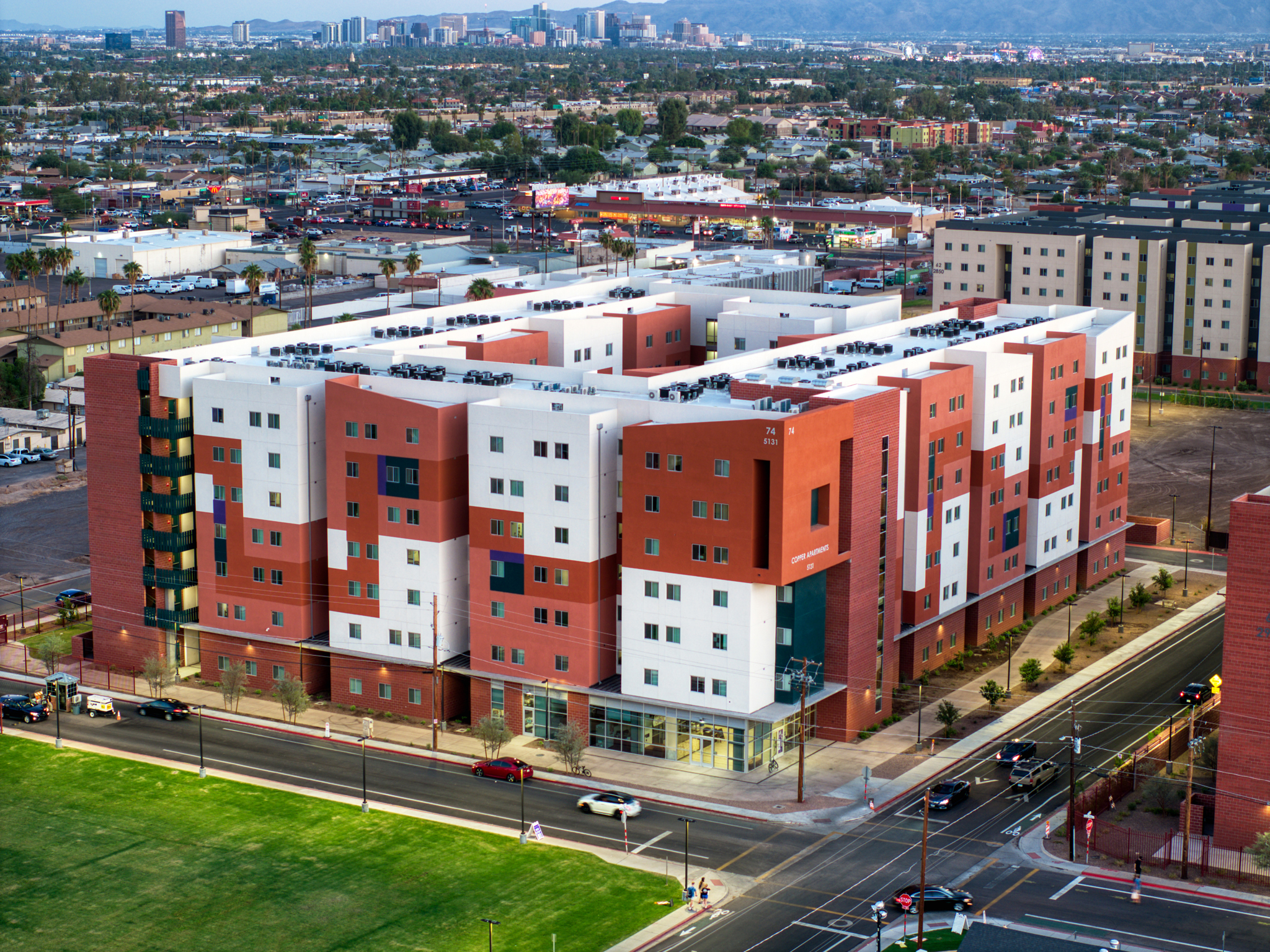
construction Progress & Site Documentation
Our construction documentation services provide a comprehensive “eye in the sky,” transforming the way you monitor site evolution. By capturing consistent, high-fidelity aerial data, we help you bridge the gap between the field and the office, ensuring every phase of your project is documented with precision.
We plan repeatable flight paths that capture your site from the same angles every visit, making it easy to spot changes and keep everyone aligned.
High‑resolution photos and video give owners, lenders, and off‑site stakeholders a clear view of what’s happening on the ground.
- Ideal for GCs, developers, and project managers
- Weekly, bi‑weekly, or milestone-based flight schedules
- Deliverables: stills, progress reels, and archive-ready files
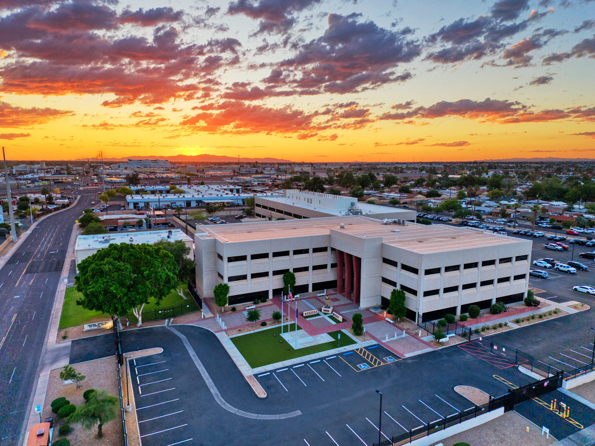
Cinematic drone visuals that make your projects, properties, or events stand out.
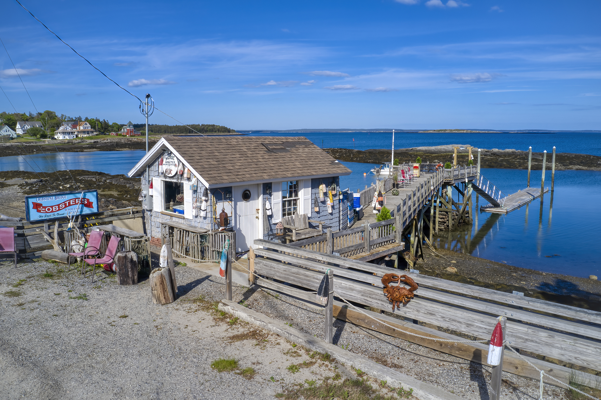
Aerial Content for Ads & Social Media
From smooth fly‑throughs to dramatic reveals, we create short-form content ready for Instagram, TikTok, YouTube, and paid campaigns. You get eye‑catching clips that showcase your work from a perspective most people never see.
- Launch videos for new developments and communities
- Hero shots for websites and digital ads
- Vertical and horizontal formats delivered, ready to post
- typically 20–40 images plus a 2–3 minute highlight reel
Avoid the ladders.
High-detail captures of roofs and structures without the risk.
Safety & Structural Inspections
High-detail overheads of roofs, facades, and hard to reach areas without ladders or lifts.
We capture close, clear imagery of roofs, siding, equipment, and other critical structures so you can flag issues early.
Our drones reduce risk to your team and help you document conditions for maintenance, insurance, or compliance.
- Great for roofers, property managers, facility teams
- Ideal for pre‑ and post‑storm documentation
- Zoom-capable cameras for fine detail on problem areas
Frequently Asked Questions
Everything you need to know about our drone operations.
Yes. All operations at Desert Drone Pro are conducted by FAA Part 107 licensed remote pilots. We strictly adhere to federal regulations to ensure every flight is legal, safe, and professional.
We carry $1M in aviation liability insurance for every flight. We can provide a Certificate of Insurance (COI) naming your company or project as additionally insured upon request.
For standard project monitoring and site updates, we typically deliver processed high-res photos and video within 72 hours of the flight. Fine art prints and complex editing may take longer.
Safety is our priority. While our enterprise drones can handle moderate desert breezes, we do not fly in heavy rain, high winds (above 20mph), or limited visibility. If weather causes a delay, we reschedule for the next clear window at no extra cost.
We are based in the Southwest and primarily serve the Phoenix and surrounding regions. However, we are available for travel to project sites depending on job scope.
our standard
Safety is non-negotiable. Every mission is conducted under strict FAA Part 107 regulations. We provide $1M in liability insurance and perform comprehensive pre-flight risk assessments to ensure your job site remains compliant and secure.
We take the complexity out of the air.
We handle all airspace authorizations and local permits so you can focus on the project below.
our commitment
Reliability is the backbone of our service. We understand that construction moves fast. That’s why we offer a guaranteed 72 hour turnaround on all site documentation, ensuring you have the visual data you need for your next stakeholder meeting.
A handshake means something to us. We pride ourselves on being the most reliable partner on your vendor list, showing up on time, flying safely, and delivering files that exceed expectations.
our value
Whether it’s a 3D site map or a sunset canvas print, we never compromise on resolution.
-
Actionable Site Intelligence
-
Thorough Pre-flight risk assessments
-
Cinematic Marketing Media
-
Professional Grade Color Grading
-
Modern, industry‑leading drone platforms